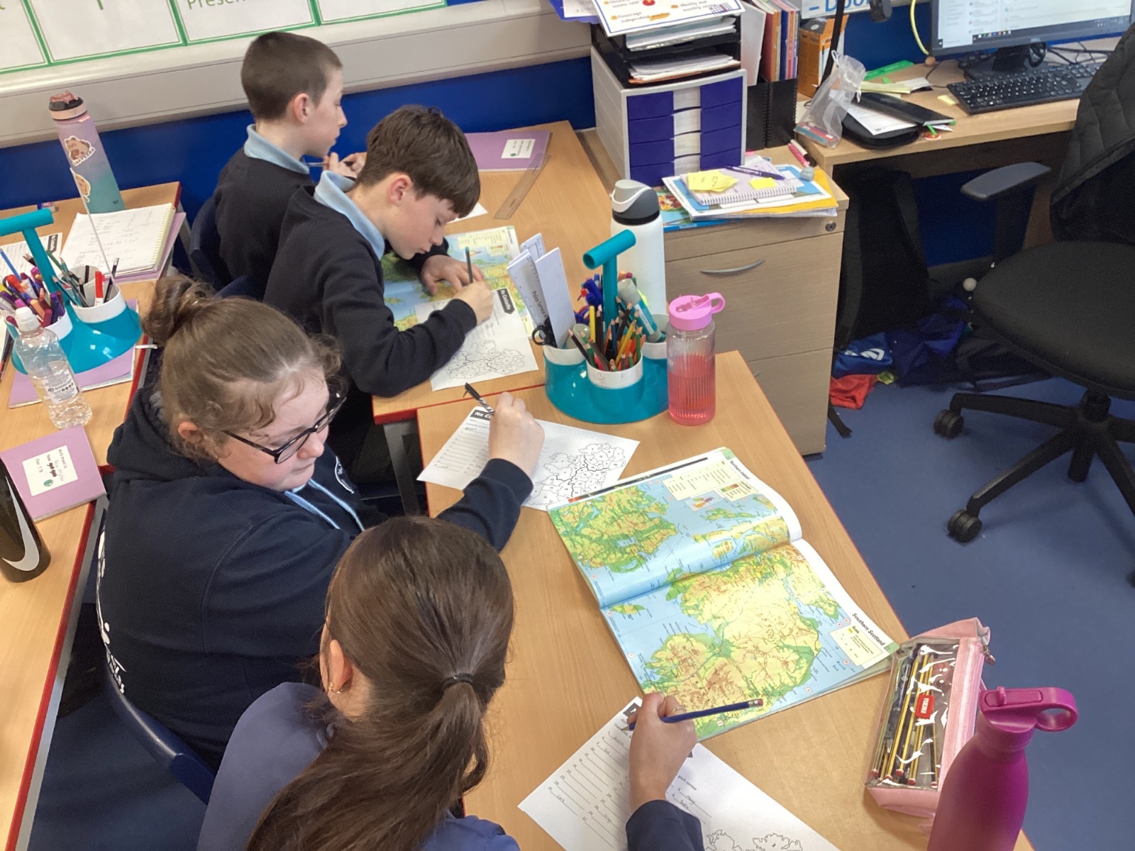
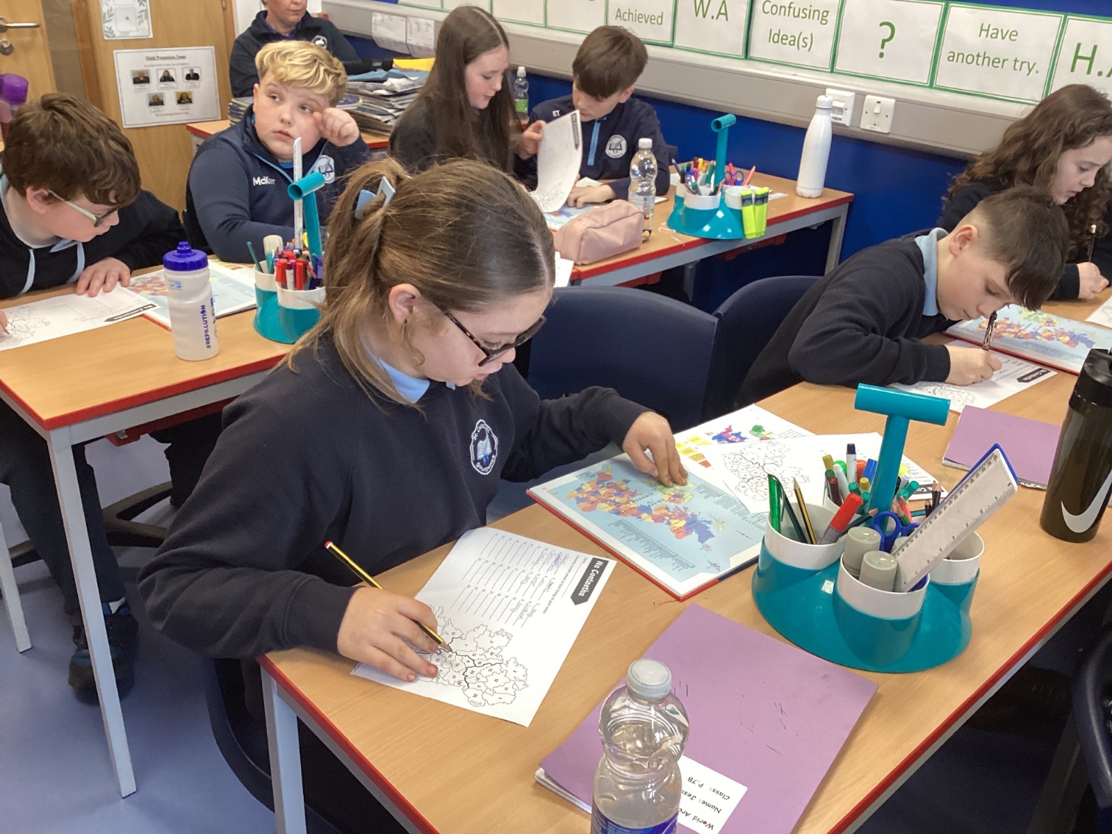
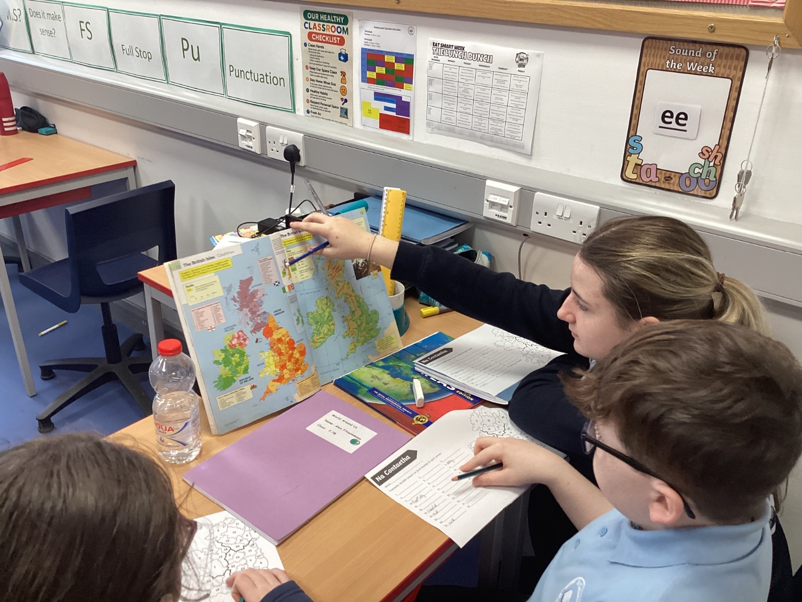
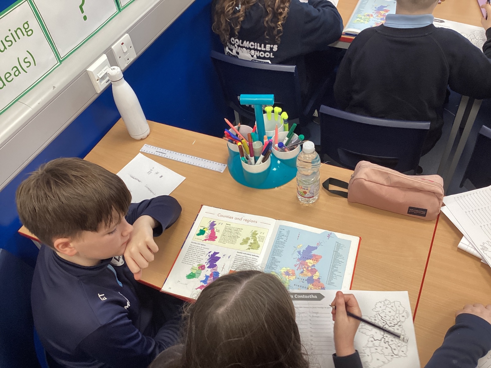
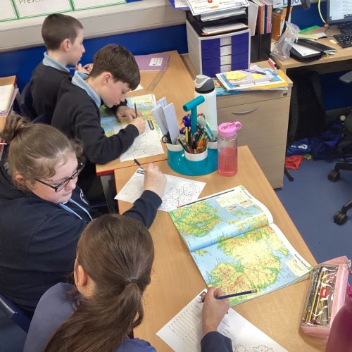
Using an atlas to locate the 32 counties of Ireland
Today, 7B took part in a geography lesson using atlases to locate the 32 counties of Ireland. As our class groups are named after the four provinces, we are able to use this information to help us identify where each county is placed. Pupils worked carefully to identify each county, using page indexes, map symbols and grid references to support their search. Throughout the lesson, pupils showed good teamwork, shared strategies and used their map‑reading skills with increasing confidence. By the end, most children could accurately name and locate all 32 counties and explain why atlases are useful tools for finding geographical information.
 IMG9435.jpeg32664
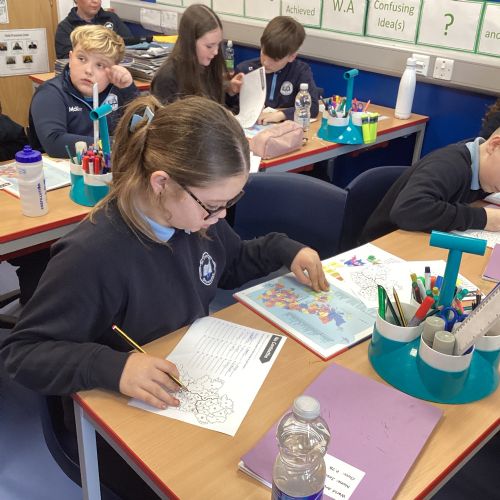 IMG9436.jpeg32663
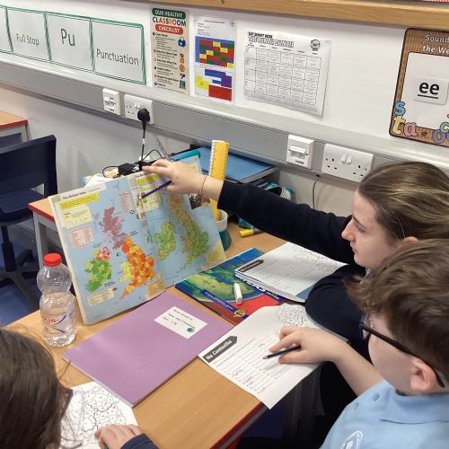 IMG9437.jpeg32662
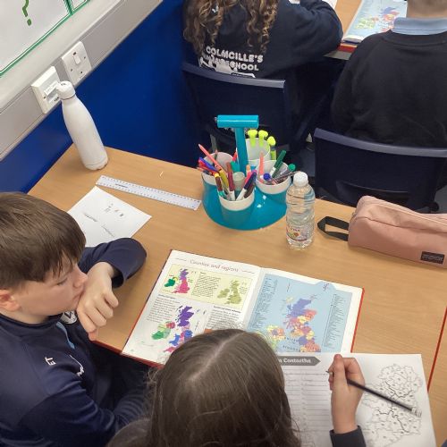 IMG9438.jpeg32661